
Phase III
At this stage, we are actively engaged in Phase III of the GEO label development and evaluation. The physical GEO label prototypes will be evaluated/validated using rigorous and tried-and-tested usability evaluation methods as part of our Phase III activities. On the basis of the results of this evaluation process, we will derive a finalised and validated specification for the GEO label. We are also developing a proof-of-concept GEO label service that will be used to provide GEO labels on demand based on supplied metadata records and will, in due course, make this publicly available.
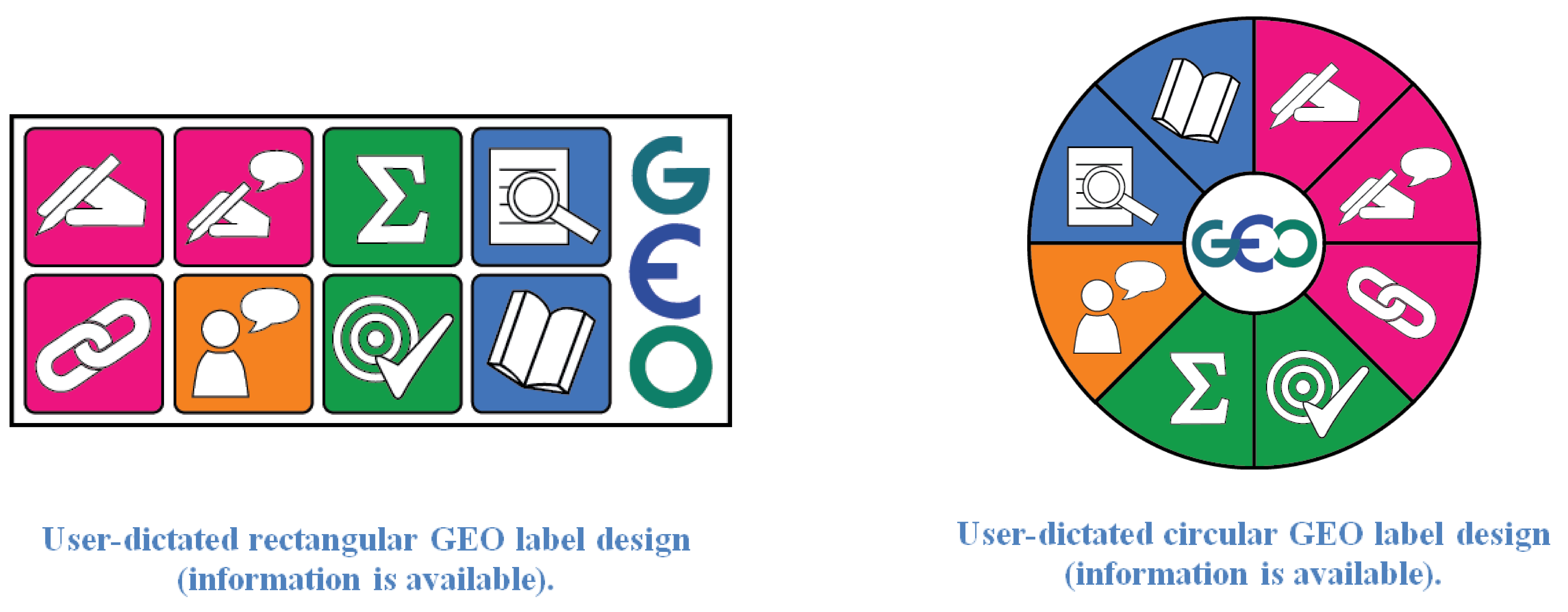
Preliminary user evaluation of the two GEO label designs derived from Phase II study led us to conclude that the proposed GEO label representations require further modifications. Users and producers of geospatial data felt that the final GEO label representation should include lineage/provenance information as a separate GEO label facet. Consequently, it was decided to combine user feedback and user ratings of the dataset into a sole ‘user feedback’ GEO label facet and introduce a new ‘lineage’ facet which will convey availability of dataset lineage/provenance information. Based on Phase III preliminary GEO label evaluation, we developed two updated GEO label visualisations which comprise:
a) dataset producer information;
b) dataset lineage information;
c) producer comments on the dataset quality;
d) dataset’s compliance with standards;
e) dataset quality information;
f) user feedback, combined with user ratings of the dataset;
g) expert reviews; and
h) dataset citation.