

User studies
GeoViQua is undertaking research to define and evaluate the concept of a GEO label. Our research aims to develop a GEO label which will represent, and facilitate interrogation of, dataset quality information with a view to supporting efficient and effective dataset selection on the basis of quality, trustworthiness and fitness for use. We recognize the importance of a user-centred design (UCD) approach in order to develop a GEO label that is likely to garner user acceptance once deployed. Consequently, GeoViQua is approaching the development and evaluation of the GEO label via one preparatory and three main user-centred design phases. To this end, we have thus far conducted 3 user studies to (1) identify the informational aspects of geospatial datasets upon which users rely when assessing dataset quality and trustworthiness (the preparatory phase), (2) elicit initial user views on the concept of a GEO label and its potential role as a solution to the stated problem of dataset selection (Phase I), and (3 ), evaluate prototype label visualizations (Phase II).
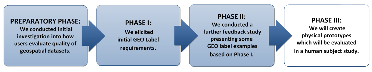
To date, we have completed the Preparatory Phase, as well as Phases I and II. Work is currently ongoing to develop the physical GEO label prototypes which will then be evaluated using established usability testing methods.